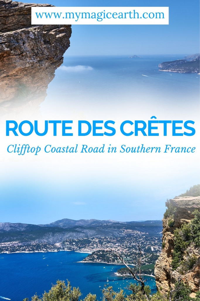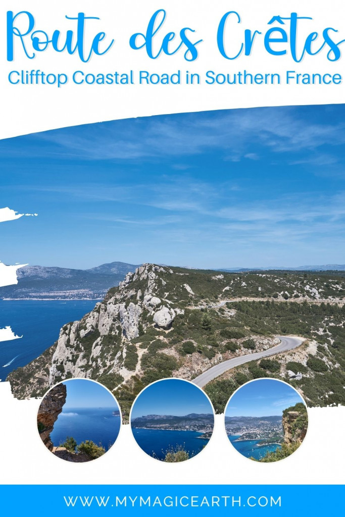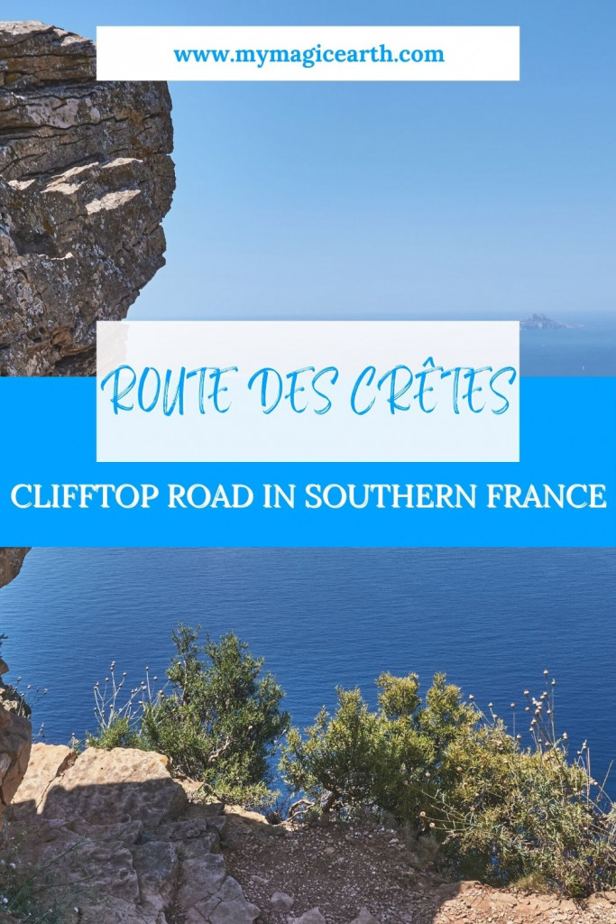
The Route des Crêtes in the heart of the picturesque Provence-Alpes-Côte d’Azur region in southern France, attracts adventure seekers with its awe-inspiring vistas along the French Riviera. During our two-week road trip through southern France, we made a challenging journey along one of the steepest roads in the country, with gradients daringly reaching 30%, elevating us to a lofty 380 meters above the sea.
Where the route starts and ends
Our adventure along the Route des Crêtes kicked off in La Ciotat, our home base for the southern France trip. As we wound our way towards Cassis, the 13km route treated us to breathtaking cliffs and sheltered Calanques inlets. This challenging yet rewarding road creates a connection between Cassis and our beloved La Ciotat, hugging the Mediterranean coastline southeast of Marseille.
The major viewpoints
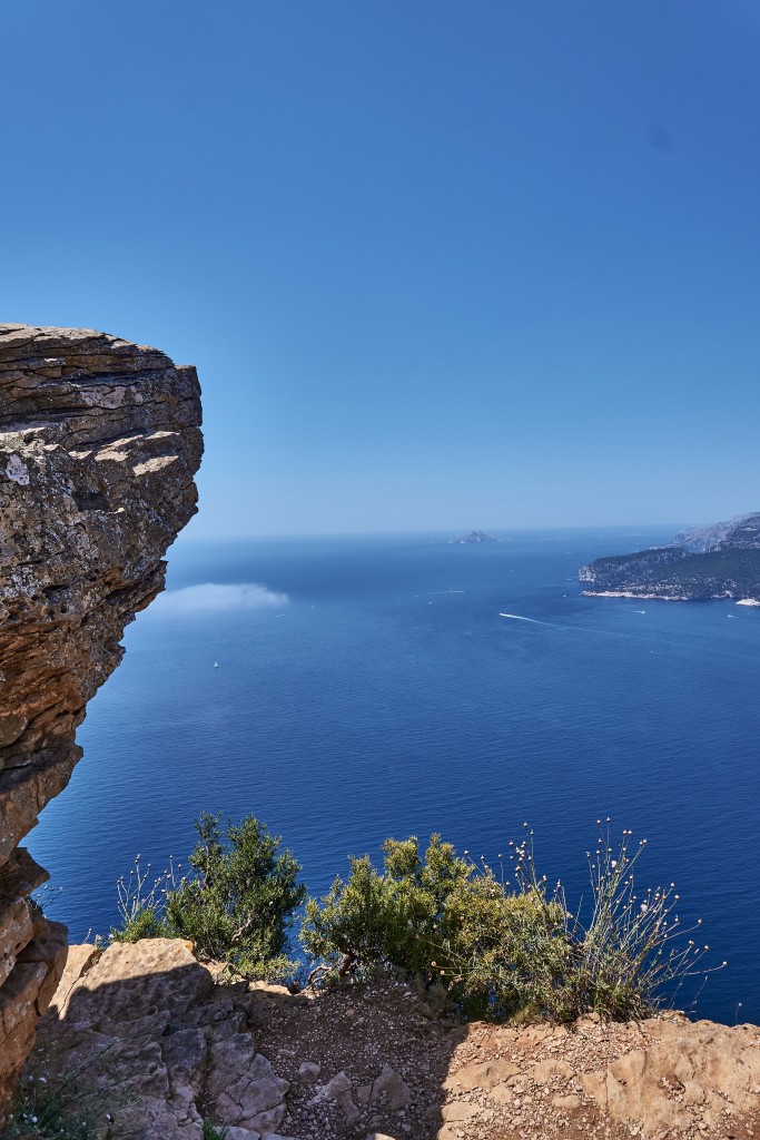
Parking facilities are conveniently located near every viewpoint along the Route des Crêtes. Explorers can opt for a leisurely stroll along the footpath tracing the cliffs for additional scenic perspectives. During our journey, we made stops at four locations, each offering extraordinary panorama encompassing the Bay of La Ciotat, Les Calanques de Cassis, rugged rock formations, and, naturally, the mesmerizing expanse of the Mediterranean coastline.
1st viewpoint – Semaphore du Bec de I’Aigle
Semaphore du Bec de l’Aigle, situated at the western edge of La Ciotat bay next to Ile Verte, presents itself as a round mass when viewed from La Ciotat. Unfortunately, on the day of our visit, we couldn’t explore it as it was closed for reasons unknown.
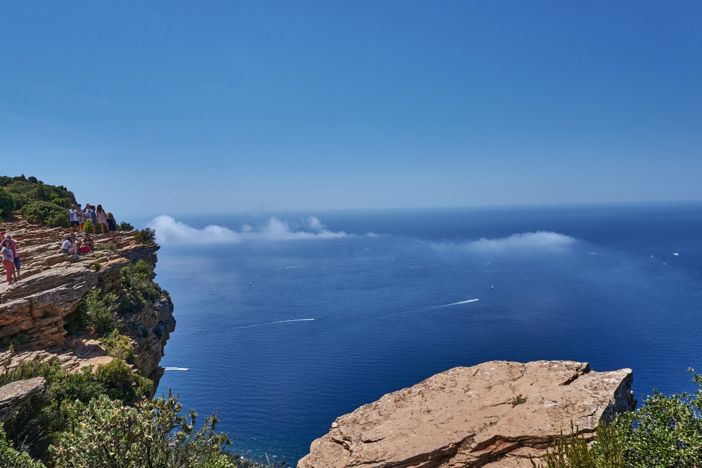
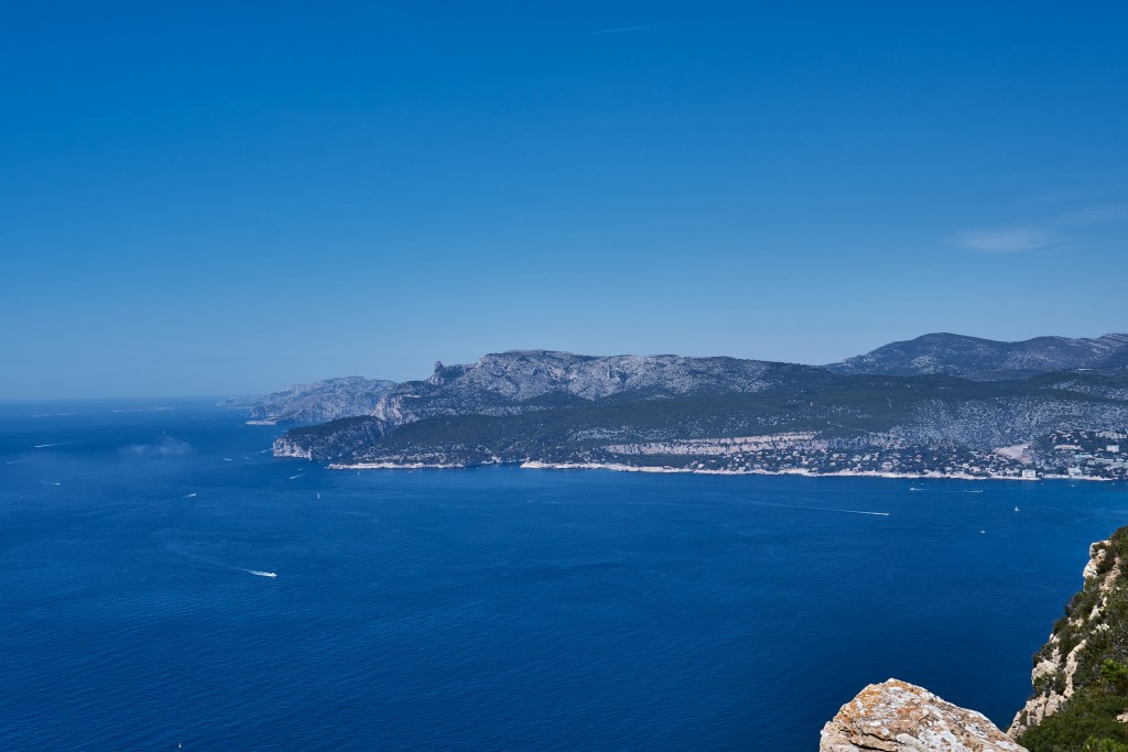
2ed viewpoint – Parking Du Belvedre
From this vantage point, we enjoyed a striking panorama overlooking the bay of La Ciotat, with glimpses of the Calanques de Cassis. The city of Cassis came more into focus, creating a captivating scene.
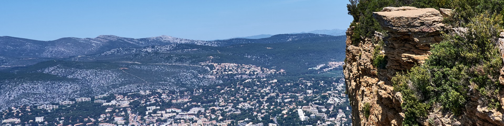
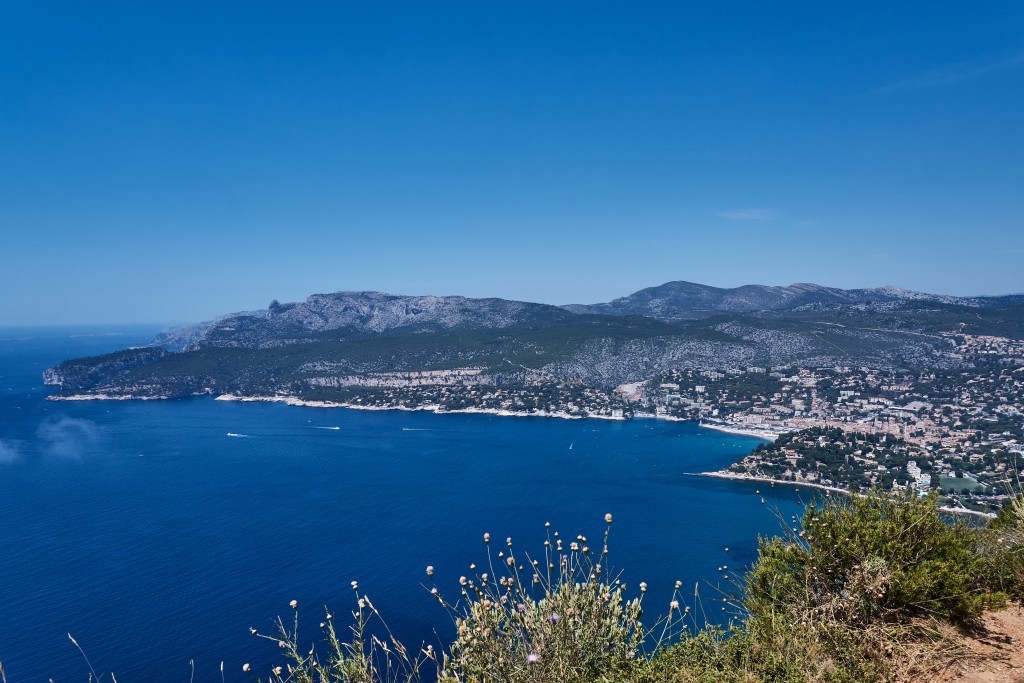
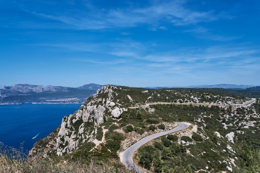
3rd viewpoint – Falaises Soubeyranes
This viewpoint marked a change in the landscape. Close to us stood the majestic Cap Canaille, the tallest rock formation along the Route des Crêtes. A small path led to the summit, promising even more spectacular views. However, the intense midday sun, coupled with an air temperature of 36°C, deterred us from attempting the ascent.
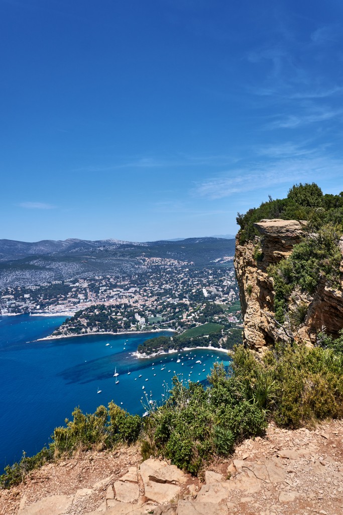
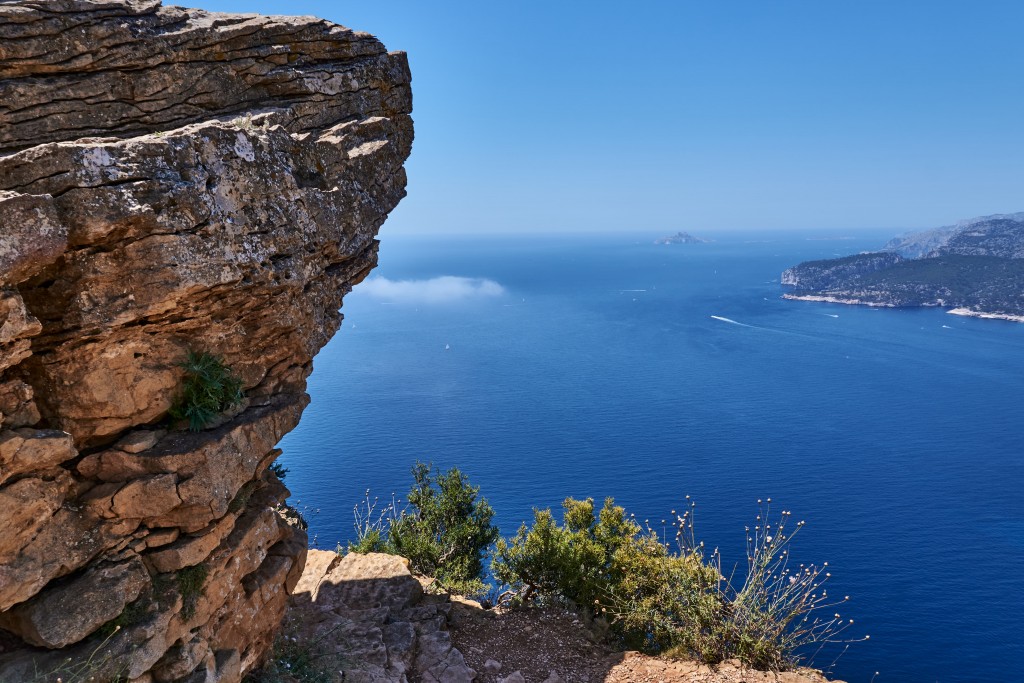
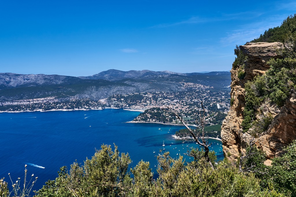
4th viewpoint – Falaises de Cassis
Strolling along the footpath that ran alongside the cliffs, we sought additional perspectives. The rugged cliff on each side of the viewpoint revealed varying angles. This viewpoint made it simpler to discern the three Calanques and the Bay of Cassis, providing a panoramic coastal panorama.
Our travel tips
In high summer, the midday sun can be harsh. Optimal times for traversing this route are early morning or at dusk, when the temperature is gentler, and the light takes on a softer hue.
While the road isn’t excessively challenging, it does feature numerous sharp bends. Driving in proximity to cliffs in certain areas, we encountered local drivers displaying a penchant for excessive speed. Caution regarding road conditions is advisable.
For those venturing along the rugged footpath tracing the cliffs, suitable footwear is essential.
It’s worth noting that there are several routes named ‘Route des Cretes’ in France, such as the one on the northern rim of the Gorges du Verdon, also in Provence. Ensure you navigate to the correct one mentioned in this article.